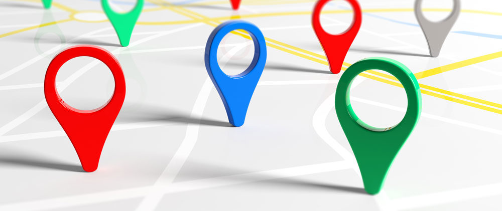
SLSA is currently exploring how to generate geo-locations (Longitude and latitude) for our photographic collection by matching subject headings within our record with the State Gazetteer and then recording those locations in the appropriate field in the MARC 21 schema. Our hope is that by providing this information in the dataset for photographs on data.sa that it will increase the visibility, use and re-use of this collection.